By purchasing this product you are making a positive impact. We contribute
of each sale and we’ve partnered with
WeAreGoodness.io
Couldn't load pickup availability
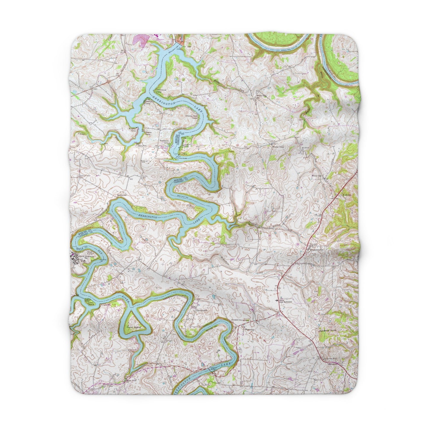
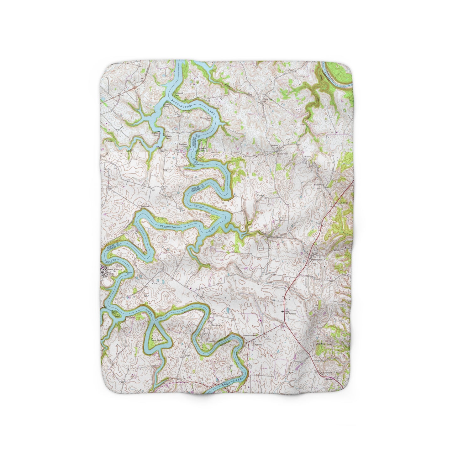
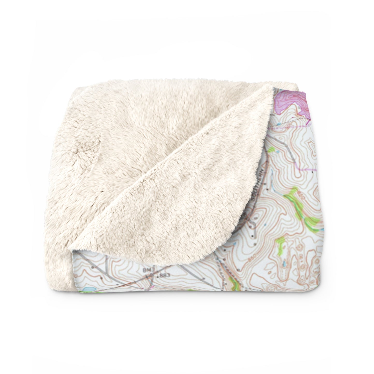
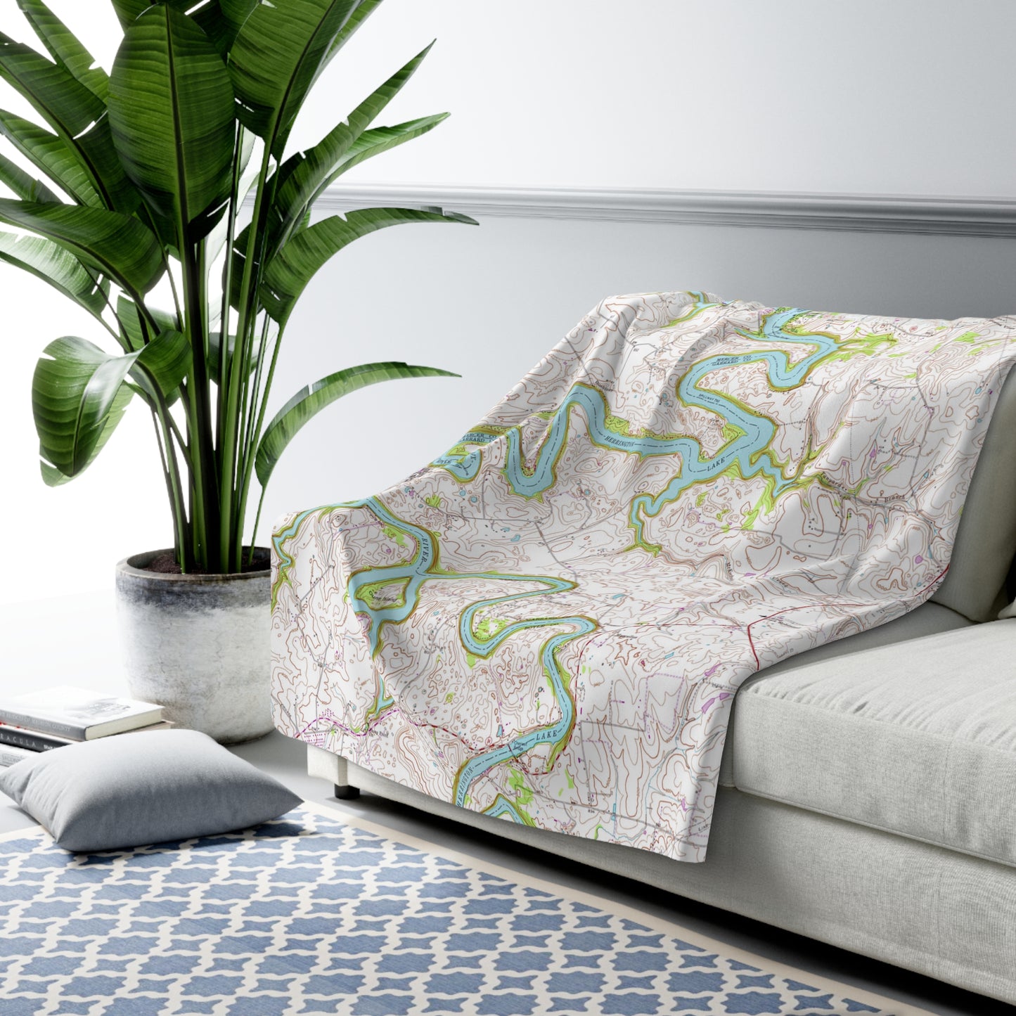
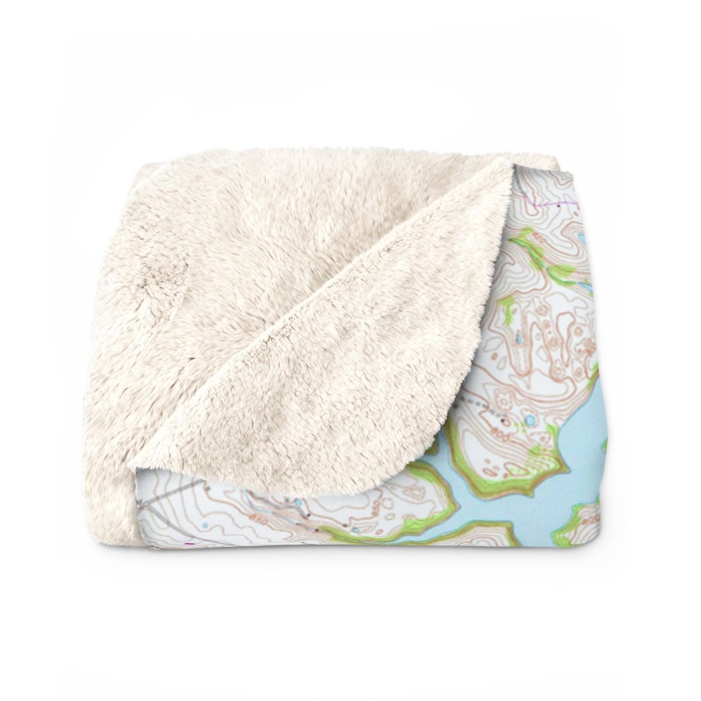
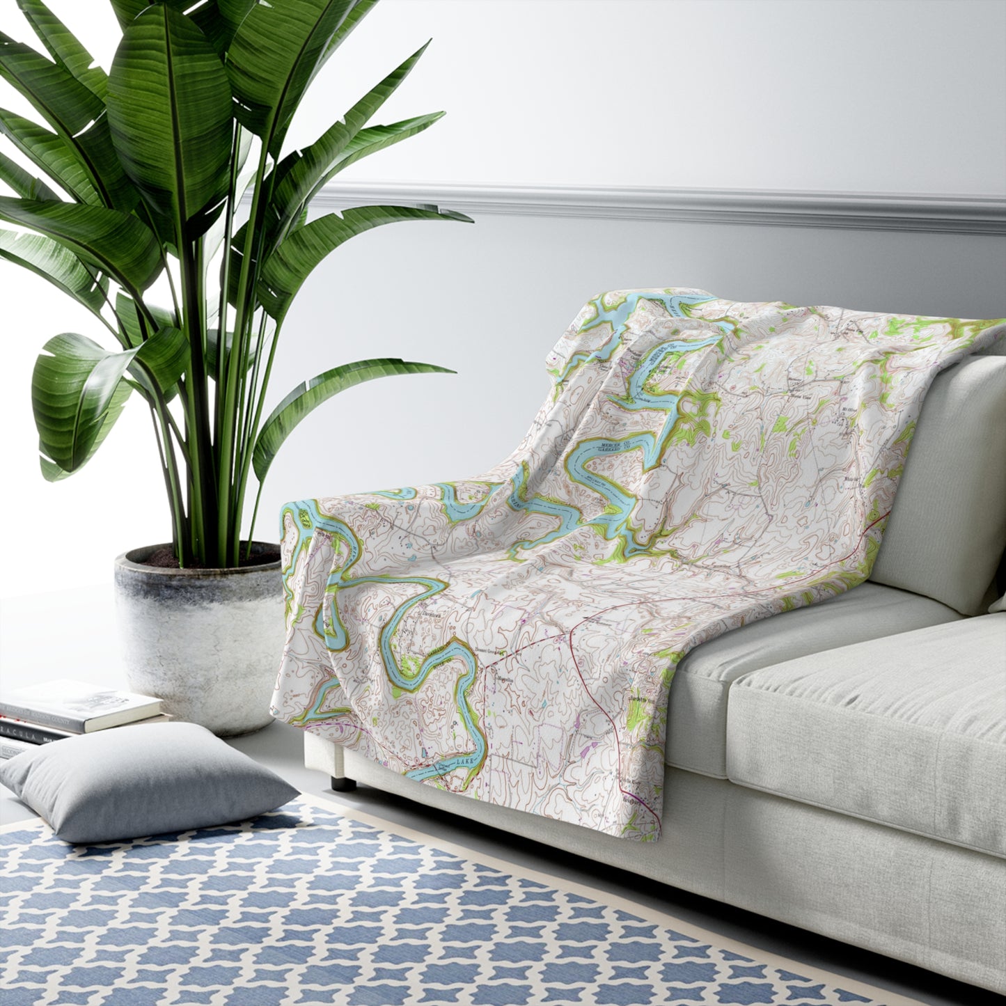
Unbelievably fluffy and warm - this high quality cozy fleece blanket is impossible to leave behind wherever one might go. The perfect size for snuggling on the couch, by the fireplace or out on the patio, watching the lake. This blanket features a high resolution copy of a handrawn and inked 1952 map of the Herrington Lake area, produced by the United States Geologic Survey. This design is a combination of two "quadrangles" (the terminology used by the USGS for specific areas of land to be mapped) that are home to our favorite Kentucky lake, the Wilmore Quadrangle (the lake north of the Kennedy Bridge) and the Bryantsville Quadrangle (the lake south of the Kennedy Bridge). For this design we have pieced the two seperately handrawn maps together to form the complete tri-county area. This map represents it's original coloring, as drawn and inked by the USGS in 1952.
.: 100% Polyester .: Plush backside, single side print .: Note: Pre-constructed item. Size variance +/- 3" .: Thickness: 0.25''(6mm).
Shipping & Returns
Usually ships within 3 business days of order, delivery in 7-8 business days. We keep you updated by text/email.
FreeEconomy shipping on all orders over $25 will apply automatically at checkout. No returns. Each item is especially printed just for you! Please see Return/Refund Policy.
We are a Kentucky-based company founded on Herrington Lake in Harrodsburg! All orders ship quickly via the USPS First Class Mail, with Tracking. Your order supports a family-owned and operated business. For immediate support and questions, call (859) 613-1959 or email info@herringtonlakeky.com.