By purchasing this product you are making a positive impact. We contribute
of each sale and we’ve partnered with
WeAreGoodness.io
Couldn't load pickup availability
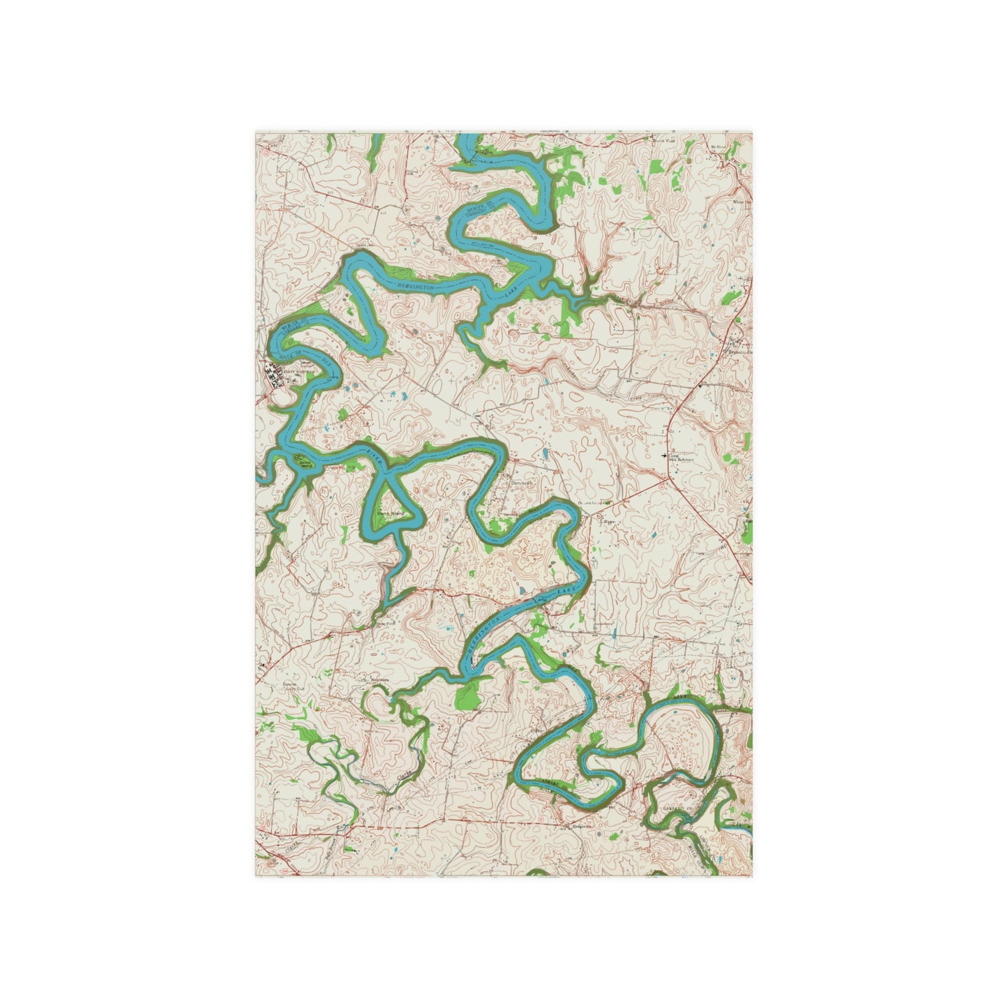
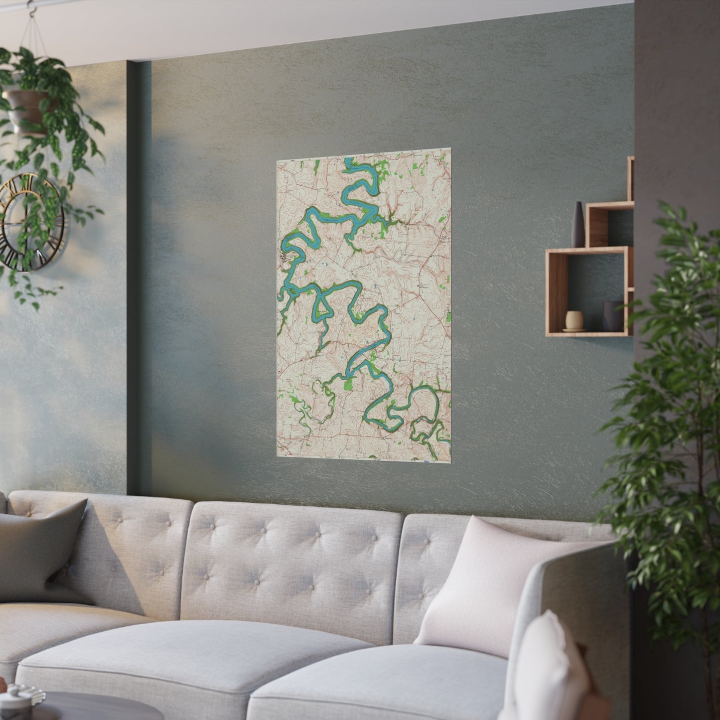
This 24"'x36" poster features a high-resolution copy of a hand drawn and inked 1952 map of the Herrington Lake area, produced by the United States Geologic Survey. The Bryantsville Quadrangle consists of all of Herrington Lake south of the Kennedy Bridge. This map represents it's original coloring, as drawn and inked by the USGS in 1952. This satin poster brings this print to life on top-tier quality 210 gsm satin paper, with a low-glare finish.
.: 210gsm satin paper .: Horizontal and vertical options .: Low-glare finish .: NOTE! For indoor use only
Shipping & Returns
Usually ships within 3 business days of order, delivery in 7-8 business days. We keep you updated by text/email.
FreeEconomy shipping on all orders over $25 will apply automatically at checkout. No returns. Each item is especially printed just for you! Please see Return/Refund Policy.
We are a Kentucky-based company founded on Herrington Lake in Harrodsburg! All orders ship quickly via the USPS First Class Mail, with Tracking. Your order supports a family-owned and operated business. For immediate support and questions, call (859) 613-1959 or email info@herringtonlakeky.com.